 Earlier this month, I took a train from Darfield
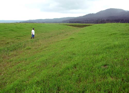
This hump-and-hollow pasture is at Tetaho, South Westland.--the picture is from an agricultural website.

Beside is a picture of the monument itn Hokatika (where I stayed). It is a monument to the New Zealand troops who fought in the Boer War, as well as to honour the coronation of Edward the VI. The town is on the coast itself, as is greymouth, and there are plenty of 'batches' that are rented out full time. In the summer they have a nasty little critter called a 'sand fly' (namu in Māori). Sandflies, like mosquitoes and other flies, are members of the order Diptera, and belong to the family Simuliidae. Similar species found elsewhere are called blackflies. The Greymouth area is cursed by the darn things; fortunately, I was there in their off season. Consequently, I enjoyed the walk on the beach last night, but the Tasman Sea looked too cold to dip the toes into. June 2nd was the first time in New Zealand that I have seen the sun set over the ocean. It was the last time too, as the weather had changed by sunset the next day to rain. Luckily, the next day, although overcast, was not rainy.

We headed off south the next morning. First we stopped at a town called Ross which still has an open cast gold mine that has been operating since 1988. Above is the mine on the ocean side of the road. There is another large bit on the other side of the road.


Speaking of destinations this was it on the right; the Fox Glacer.
Fed by four alpine glaciers, Fox Glacier falls 2,600m on its 13km journey from the Southern Alps down to the coast, with it having the distinction of being one of the few glaciers to end among lush rainforest only 300 metres above sea level. Although retreating throughout most of the last 100 years, it has been advancing since 1985. In 2006 the average rate of advance was about a metre a week. In January 2009, the terminal face of the glacier was still advancing and had vertical or overhanging faces which were continually collapsing.
The outflow of the glacier forms the Fox River. During the last ice age, its ice reached beyond the present coastline (taken from Wikipedia).

In 1966 it was estimated that there were about 370 glaciers in New Zealand. An inventory taken in the 1980s by Trevor Chinn and assistants listed over 3,100 glaciers larger than a hectare. The number of glaciers had not greatly increased – it was simply that they had never been systematically counted before. Most of them are very small and/or inaccesable.

Right outside the parking lot there is a sign that informs the tourist how close they can get to the glacier without being part of a guided tour. That day it was two hundred meters from the glacer, and the walk there and back would take about an hour. There are signs posted along the track in the glacier valley that warn the visitor not to stop within the corded area of the path. This is because they are in the area of rock slip and a rock avalanche could occur with very little warning.
 | ||||
| From about 250 meters away |
I managed to do the walk at the recommended space. I didn`t know about the guided tour, I think another time I would take it. As the guides are trained in safety and rescue, I could have walked closer to the glacier itself. It really is not a money grab on the part of the conservation authority. Every couple of years somebody dies at either the Fox or Franz Josef glacier. The most recent was in 2009 when a couple of brothers went two close to the glacier for photographs; an estimated hundred tons of ice and rubble landed on them.

Two French tourists took the picture for me, and I returned the favour.
On the way back to Hokitika, we stopped for a couple of pictures of the Alpine fault. To quote Wikipedia again ``The Alpine Fault is a geological fault, more specifically known as a right-lateral strike-slip fault, that runs almost the entire length of New Zealand's South Island. It forms a transform boundary between the Pacific Plate and the Indo-Australian Plate. Earthquakes along the fault, and the associated earth movements, have formed the Southern Alps. The uplift to the southeast of the fault is due to an element of convergence between the plates, meaning that the fault has a significant high-angle reverse oblique component to its displacement......Average slip rates in the fault's central region are about 30mm a year, very fast by global standards.``

The fault line can be seen in this photo right at the top of the peak in the middle of the photo. This was taken part way up to the town of Franz Josef en route to the Fox Glacier. The following two pictures are taken on the way back down to Frans Josef, closer to the Glaciers themselves.


Below is the Fox River Valley. The Fox River is a braided river; it arises in two places; from a spring in the Fox Range, and from the head of the Fox Glacier. It runs west into the Cook River/Weheka, shortly before it exits into the Tasman Sea.[

The Valleys are pretty as well.
We finally got home around 5:30. It had been a great day and a great trip. The next couple of days it rained non stop as is not unusual on the west coast. My friend drove me to Greymouth Thursday morning and I left on the one o`clock train for Darfield. The train ride through the alps is not quite the same as it is on a crsp sunny morning.
Looks like you are having a fabulous time! It is definitely summer here with 90 degree temperatures forecast all week.
ReplyDelete